Stakeholder workshops
22 Participants in Pittsworth
14 Participants in Westbrook
Toowoomba Regional Council thanks the community for their valuable feedback on the Walking Network Plans for Westbrook and Pittsworth, both endorsed at the Ordinary Meeting on 21 April 2026.
Community engagement included workshops, pop-up sessions and contributions via the YourSay mapping tool, highlighting strong interest in safe, connected and accessible walking networks that support recreation, health and everyday travel.
Both plans will guide Council in prioritising future upgrades, including new pedestrian connections, safer crossings, improved access to schools and parks, footpath improvements, and opportunities for tree planting and seating. Key priorities also include addressing missing links, improving safety along key streets, and supporting diverse mobility needs across each community.
This high-level planning project will help inform a future program of works for consideration in Council’s capital works and operational works planning and delivery programs. Projects in these precinct areas will be prioritised, alongside other priority projects in the Region, when developing future capital and operational works programs. Delivery of priority projects will be subject to future funding and is expected to occur in multiple stages over a number of years.
Council obtained a Walking Local Government Grant from the Department of Transport and Main Roads to fund the development of two Walking Network Plan (WNP) for:
Walking network plans aim to create better places to walk, making active transport a more attractive and accessible choice. These plans will guide Council infrastructure upgrades and investments. This planning projects is proudly funded in part (50%) by a Queensland Government Walking Local Government Grant.
During June 2025, Council held workshops and conversations with these communities to help create these plans. This wealth of feedback has been incorporated into these documents which was endorsed by Council at its 21 April 2026 Ordinary meeting.
You can see the outcomes and final maps for the Westbrook and Pittsworth communities on the respective page tabs.
22 Participants in Pittsworth
14 Participants in Westbrook
9 attendees in Pittsworth
7 attendees in Westbrook
65 for Pittsworth
145 for Westbrook
Pittsworth Vision for Walking Network Plan:
‘To provide a high quality safe and connected pedestrian network across Pittsworth that is accessible for all and is enhanced by shade and improved street environments that reflect the town’s character’.
Pittsworth – Key Themes/Priorities:
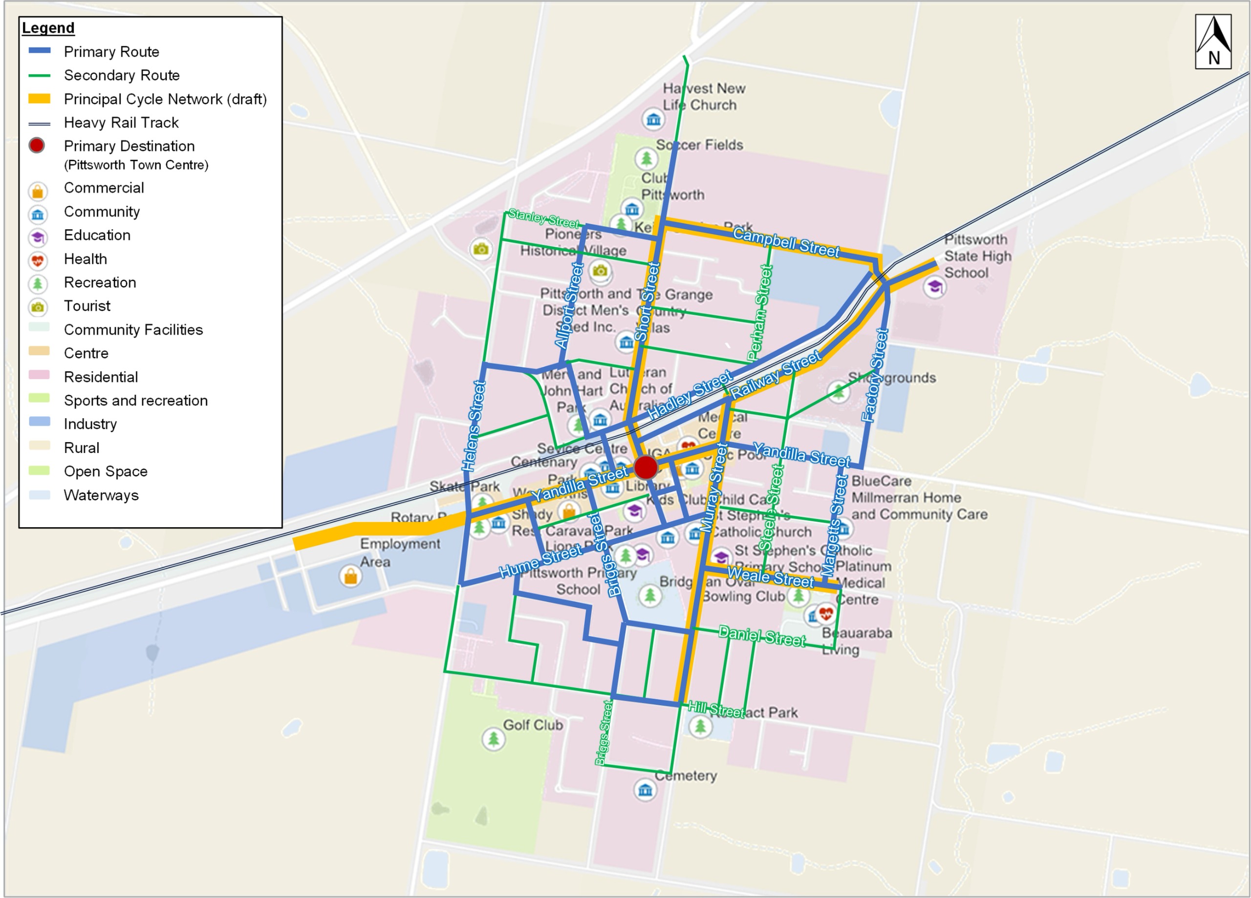
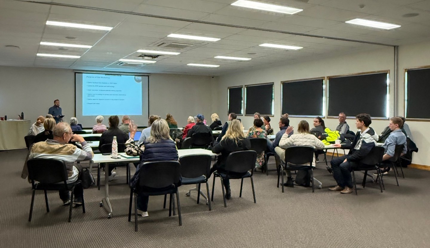
Workshop held in Pittsworth on Friday 13 June 2025
Westbrook Vision for the walking network plan:
‘To provide a safe, comfortable and connected pedestrian network for Westbrook that, promotes an active lifestyle, makes walking attractive to schools, parks, shops and recreational areas, while sustainably growing the community’.
Westbrook – Key Themes/Priorities:
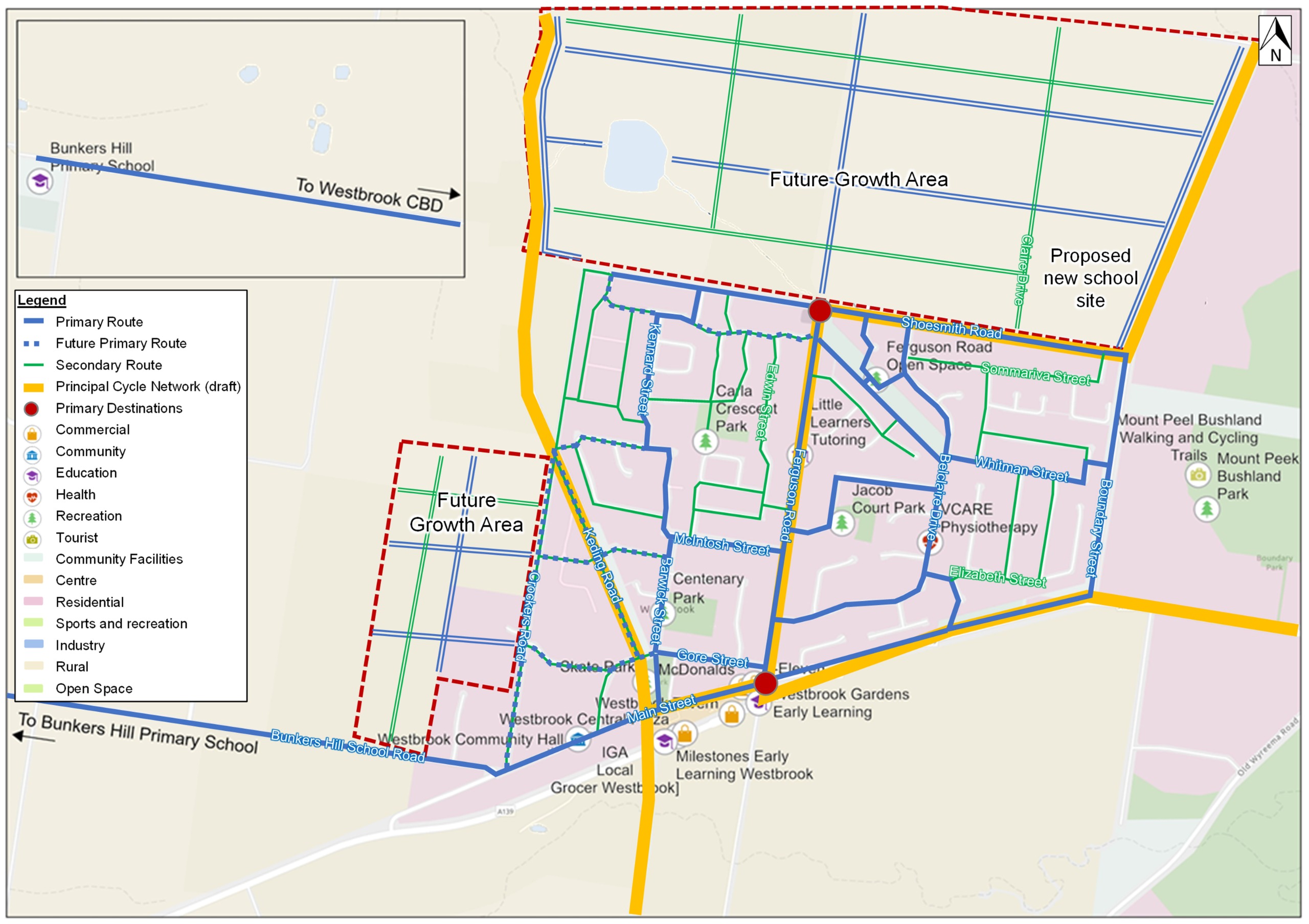
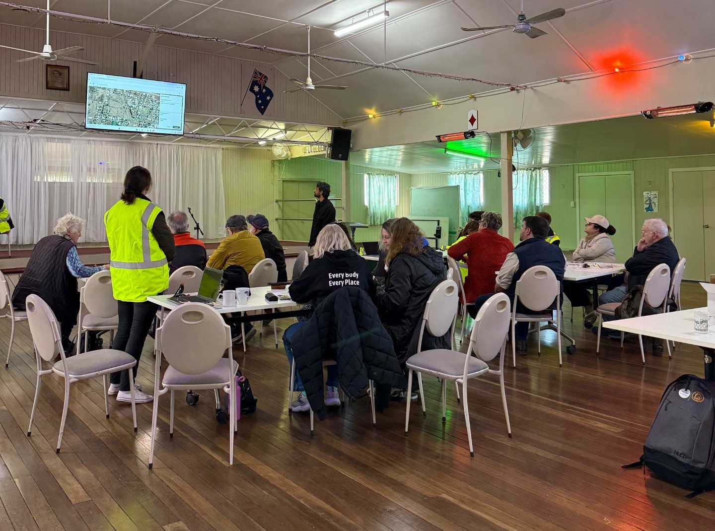
Workshop held at Westbrook Hall on Thursday 12 June 2025
Have questions or want to learn more about a project, contact us below:
| Phone | 131 872 |
|---|---|
| yoursay@tr.qld.gov.au | |
| Website | www.tr.qld.gov.au |


